Maps permit you “…to write the subjective back into the supposedly objective, to take something that’s meant to be neutral, and make it personal again.”
Gerald Marx quoted in
https://currencynews.co.za/art-of-the-week-gerhard-marxs-landscape-would-be-the-wrong-word/
Maps (see part 1) are more than the distance between places or way to find something. They are also are a vehicles for stories.
Making a story centred map
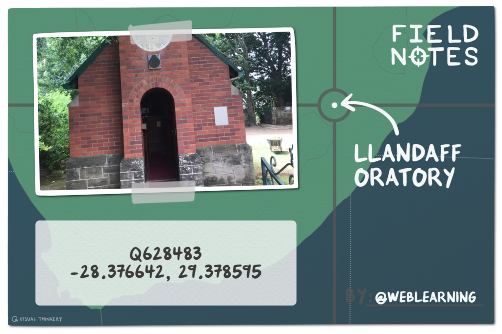
When visiting a new town, city or country, I orientate myself by going on a stroll. I try to find the “Centre Point” of a place. The centre of Middelburg is the NG Kerk (Wit Kerk) (25°45’43.2″S 29°27’25.0″E) and the Llandaff Oratory (Little Church) (Q628483) is the centre of Van Reenen. Knowing where the centre of town lies…allows me to orientate myself.
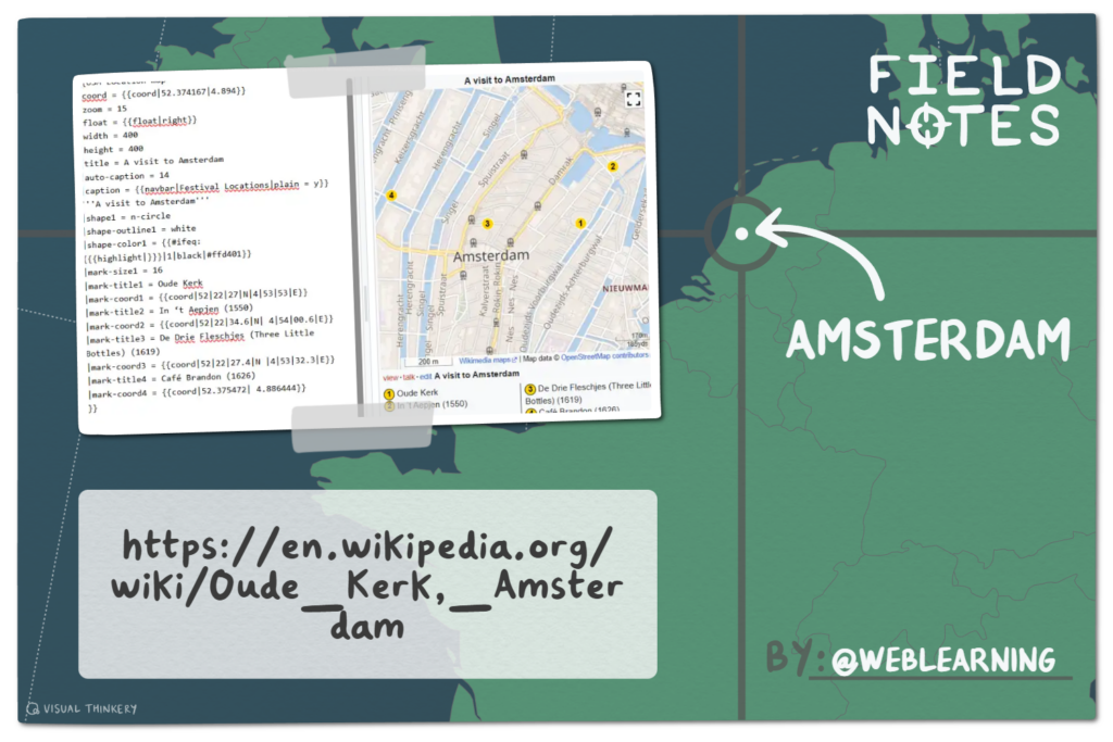
If I went Amsterdam, the centre point would be the “Oude Kerk” (lat=52.37 lon=4.89). After hearing all that religious history a visit to a “brown café” might be a nice contrast and alternative. Listed below are a few of the historic cafés. Each making a claim to fame, with a delightful story.
- In ‘t Aepjen (1550)
- 52°22’34.6″N 4°54’00.6″E or 52.376278, 4.900167
- Café Karpershoek (1606)
- 52°22’41.1″N 4°53’46.0″E or 52.378083, 4.896111
- De Drie Fleschjes (Three Little Bottles) (1619)
- 52°22’27.4″N 4°53’32.3″E or 52.374278, 4.892306)
- Café Brandon (1626)
- 52°22’31.7″N 4°53’11.2″E or 52.375472, 4.886444
You have seen how I created three general purpose location maps (for libraries) and introduced four thematic human centred maps with multiple labels for M.J. Naidoo (family history), City Centre Lobamba (places to see when in Eswatini), Clarens Festival (venues in town where events take place), the Parktown mansions (properties owned by Joburg’s Randlords ) and Guerrilla Blue Plaques (social history).
This map of Amsterdam is just another version. I’m hoping you going to try it out.
{{OSM Location map
|coord = {{coord|52.374167|4.898056}} See OUDE KERK for REGIONAL CORDINATES
|zoom = 15
|float = {{float|right}}
|width = 400
|height = 400
|title = A visit to Amsterdam
|auto-caption = 14
|caption = {{navbar|Festival Locations|plain = y}}
'''A visit to Amsterdam'''
|shape1 = n-circle
|shape-outline1 = white
|shape-color1 = {{#ifeq:{{{highlight|}}}|1|black|#ffd401}}
|mark-size1 = 16
|mark-title1 =
|mark-coord1 =
|mark-title2 = In ‘t Aepjen (1550) See IN 't AEPJEN for CAFE CO0RDINATES
|mark-coord2 = {{coord|52|22|34.6|N| 4|54|00.6|E}}
}}
These human centred maps are full of people who live or work there. Might it be possible to attach a human voices to the actual place. A story teller can weave event and places together. When these stories are shared together, trust is built, emotional connections are made.
Human centred mapping topics
- Voices from people who live in hijacked buildings in Jo’burg
- The unsung (and unheard of) heroes
- The (incomplete) Bookshop Tour of Johannesburg
- A Blue Plaque Trail in partnership with you local historian
Big jump here.
Scope: Draft a numbered campus map of lesser-known places on your University campus, using the Wikipedia Open Street Map Template (see more examples).
Rationale for this work
If you do want to allow others to address the marginalization and exclusion that map makers manufactured, then utilising Wikimedia’s map-making capabilities, to tell stories of under appreciated, remote, ignored or even blanked out people is a great way forward.
References
https://librarycarpentry.github.io/lc-wikidata/05-intro_to_querying.html
M. Arikawa and M. Lu (2022) Ubiquitous Digital Storytelling with Local and Dynamic Georeferencing of Analog Maps. Chapter from Y. Wakabayashi and T. Morita (eds.), Ubiquitous Mapping, Advances in Geographical
and Environmental Sciences, https://doi.org/10.1007/978-981-19-1536-9_2
Neumann, A. (2008). Web Mapping and Web Cartography. In: Shekhar, S., Xiong, H. (eds) Encyclopedia of GIS. Springer, Boston, MA.
This is the second in a series of blog posts about spatial lenses
- Spatial (earth) lens
- Spatial (human) lens
- Spatial (data) lens